
|

|
MAPS
|
WARNING: Some of these maps are quite large and may take a few
minutes to download. Some may also cause your computer to lock up.
All maps have been reduced in weight, but not
so much that the quality of the graphic has been compromised. Please be patient.
|
* Download times are estimated for 28.8 modems. *
* Zip and pdf file download times are not shown. *
If you're on
DSL or cable, the download times will be much quicker.
|
Map |
Dimensions
in
Pixels |
Weight in Bytes |
Est. Time to Download* |
| Very early map,
no date; no Texas colonies shown, Wilbarger region in "Great Space
of Land unknown" |
2340 x 1700 |
552,815 |
3 mins |
|
1722-1835 Texian (sic) Empire |
496 x 787 |
59,072 |
18.5 sec |
|
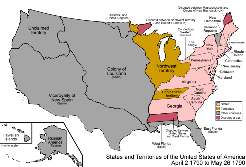
1790 U.S. map |
800 x 542 |
65,953 |
20.6 sec |
| 1795
New Mexico Territory |
2340 x 1700 |
330,185 |
2 mins |
| 1800s approximate locations of
Texas Plains Natives |
563 x 600 |
53,490 |
16.7 sec |
|
1820 U.S. map |
511 x 352 |
7,161 |
2.2 sec |
|
1821-1836 map showing Wilbarger part of Cameron's Grant |
1790 x 1442 |
171,306 |
53.5 sec |
| 1836
Texas map |
735 x 614 |
97,864 |
30.6 sec |
|
1836 U.S. map |
800 x 542 |
74,522 |
23.3 secs |
| 1840
Texas map - Wilbarger region in Fannin County |
500 x 459 |
6,865 |
2.1 sec |
| 1840
Texas map - a natural map showing the Wilbarger region in Fannin
County |
735 x 619 |
72,380 |
22.6 sec |
|
1840 Texas land grant map |
1790 x 1442 |
69,522 |
21.7 sec |
|
1841 Texas map - shows Wilbarger
region in Robertson County |
432 x 518 |
101,486 |
31.7 sec |
|
1841-1843 Texas Frontier Development showing expedition routes |
1247 x 964 |
71,671 |
22.4 sec |
|
1845 U.S. map |
800 x 42 |
66,871 |
20.9 sec |
|
1848-1861 Federal Forts in Texas |
927 x 896 |
83,977 |
26.2 sec |
|
1850 Texas counties map |
500 x 459 |
8,817 |
2.8 sec |
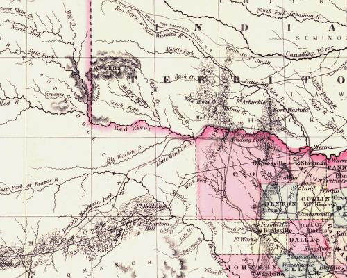
| 1855
Regional Counties map - Wilbarger not shown |
500 x 400 |
149,743 |
46.8 sec |
| 1857
Regional Counties map |
500 x 400 |
31,981 |
10.0 sec |
| 1860 Texas
counties map |
500 x 459 |
11,530 |
3.6 sec |
| c1862 Texas
Frontier After the
Civil War |
660 x 600 |
37,834 |
11.8 sec |
|
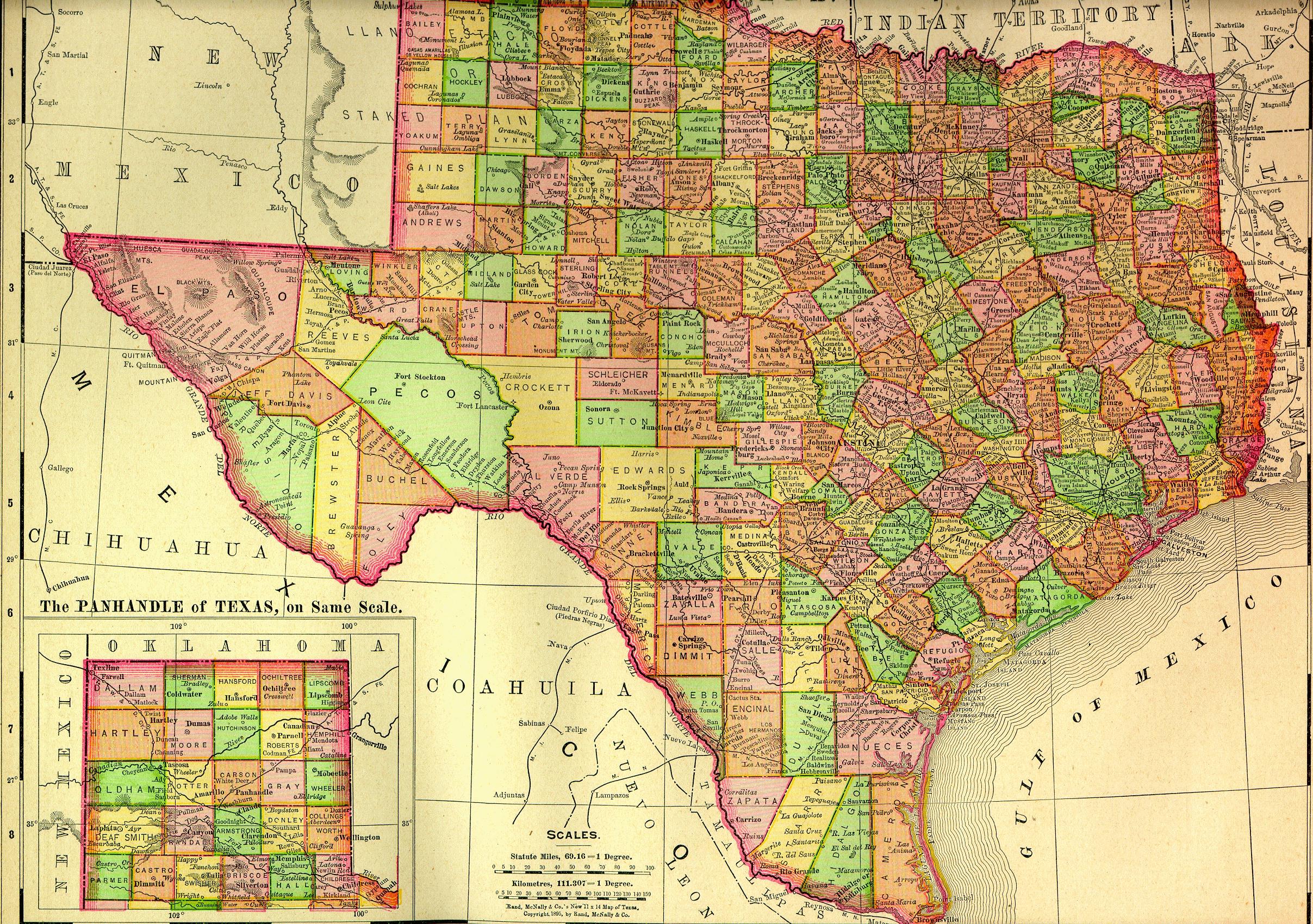
1895 Texas counties map |
2415 x 1700 |
1.4 MB |
5 mins |
| 1886
Regional Counties map |
500 x 400 |
130,967 |
40.9 sec |
|
1940 Wilbarger County
General Highway Map |
1400 x 1924 |
535,318 |
5 mins |
|
1961 Wilbarger County
General Highway Map |
1400 x 1892 |
314,305 |
98.2
sec |
| Mid to Late 19th Century
Cattle Trails |
620 x 600 |
54,776 |
17.1 sec |
| Federal
Frontier Forts and Cattle
Trails |
1461 x 1158 |
183,730 |
57.4 sec |
|
Texas map, complete, no date; more current
than early. Humongous!! |
2702 x 1692 |
745,490 |
6 mins |
|
|
|
|